Nautical instrument / 17-inch charter
Model:LER-1702
GPS (Global Satellite Positioning System) has the characteristics of fast, high accuracy, continuous navigation, strong anti-interference ability, and not easily affected by the weather. It uses GPS to locate ships, navigate, and understand the position of ships through electronic charts to ensure safe navigation Improve transportation efficiency.
Features
◎ 17-inch color LCD display
◎ Can display coastline charts, place name information data, and set, edit, and delete operations for waypoints, routes, and tracks
◎ Automatic ship identification system (AIS) function
◎ AIS target ship approaching alarm function
◎ Target ship information display function
◎ Display target ship on electronic chart
◎ GPS navigation function |
Product acessories
◎ Marine bracket * 1
◎ Knobs * 2 pairs (one pair large, one pair small)
◎ NMEA-0183 output line * 1
◎ 3V marine satellite antenna * 1
◎ AIS high frequency antenna * 1
◎ AIS cable * 1
◎ Power cord * 1
◎ Screw * 5
◎ Instruction manual * 1
◎ remote control |
Specification
Display: 17-inch LCD
Pixels: 1208 × 1024
Contrast: 1000
Brightness: 250cd / m
Viewing angle: 70/70 (up / down), 70/70 (left / right)
Input voltage: DC10-36V
Power consumption: ≦ 18W (13.8V)
Ambient temperature: 0 ° C-50 ° C
GPS relocation time is less than 34 seconds
Machine size: 400mm × 379mm × 105mm
More
 |
 |
 |
| AM/FM Radio Cable |
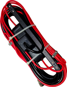
LER-799 |
Voltage Transformer |